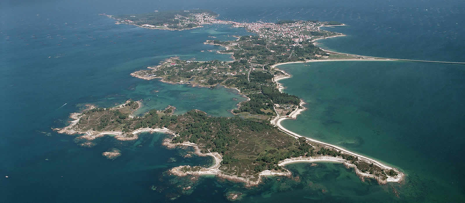
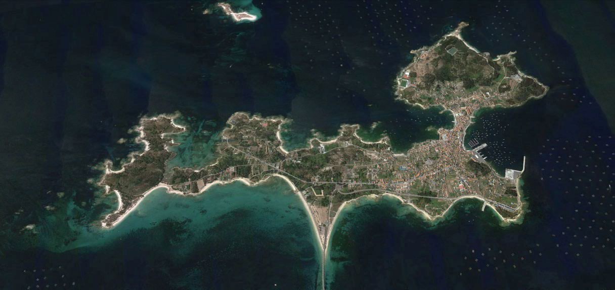
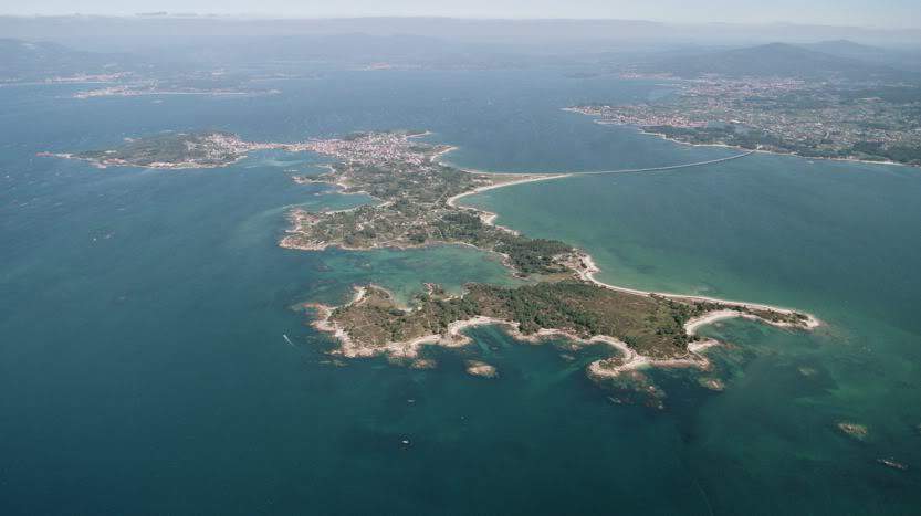
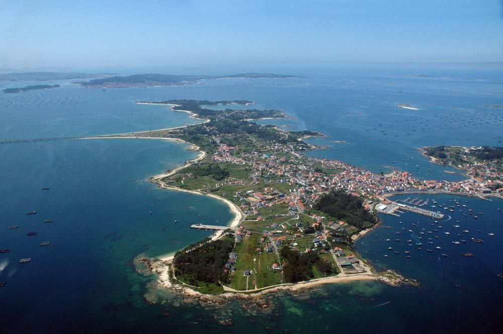
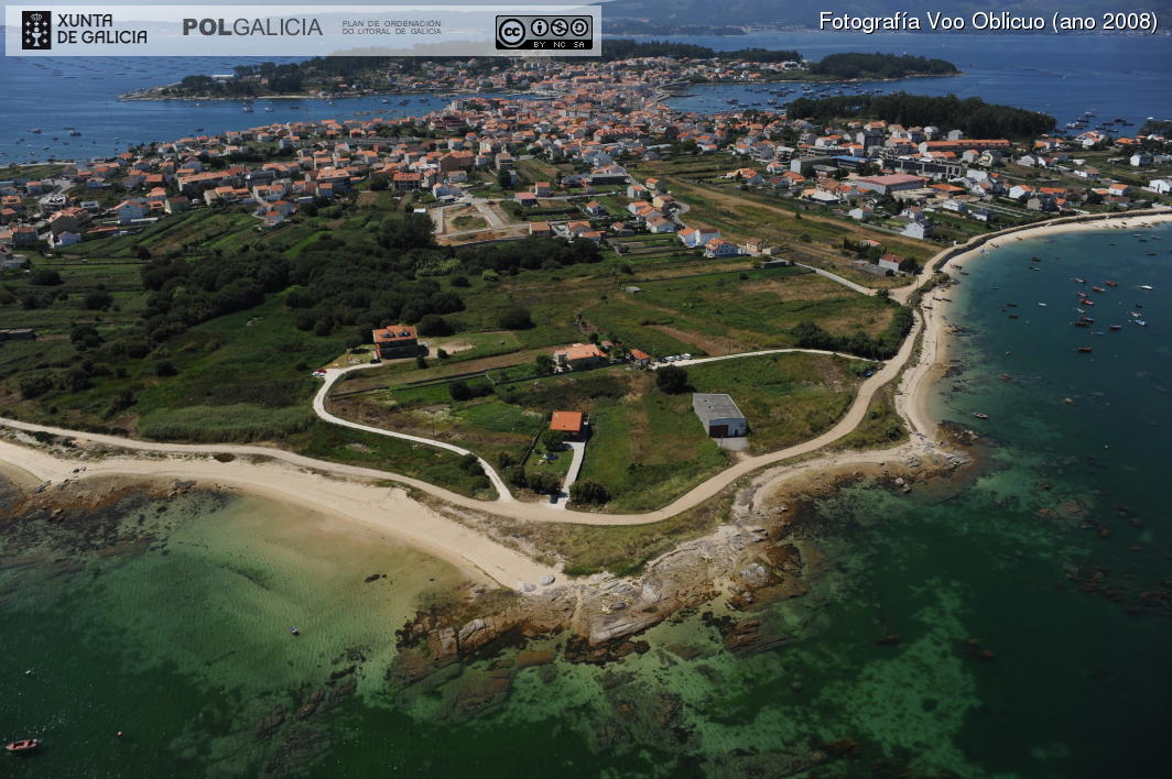
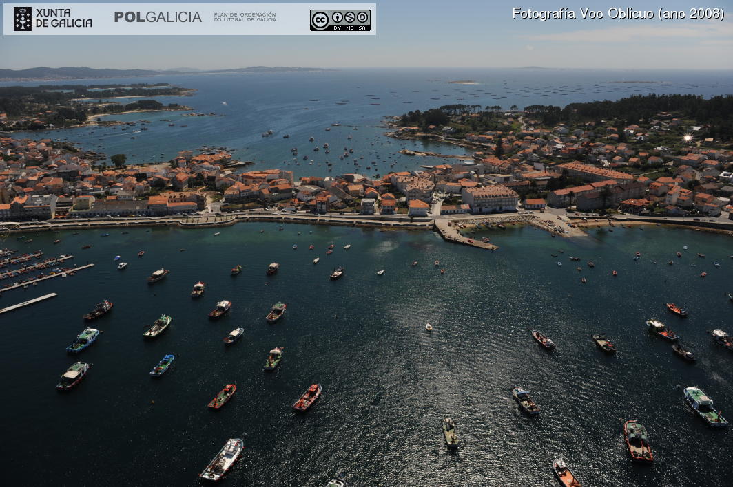
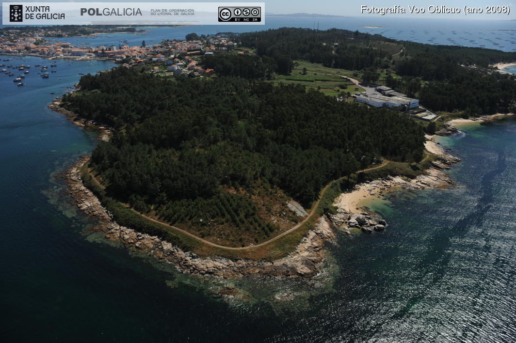
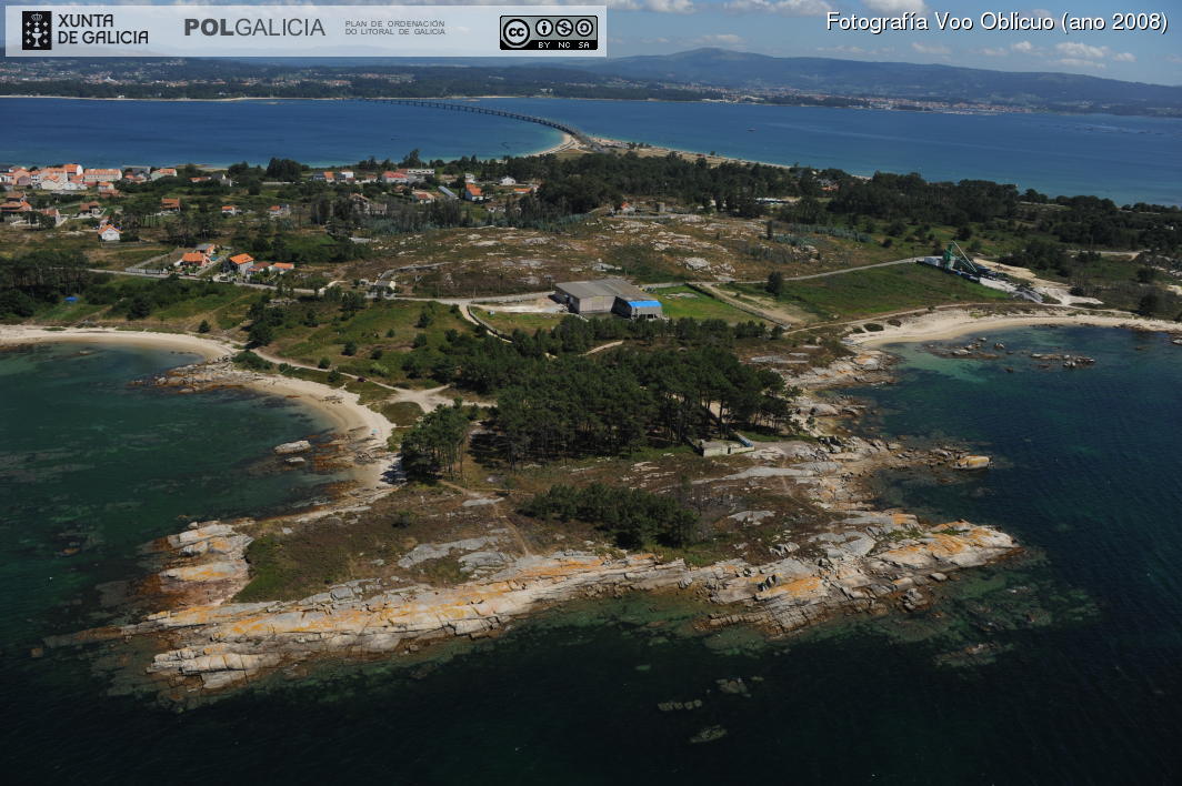
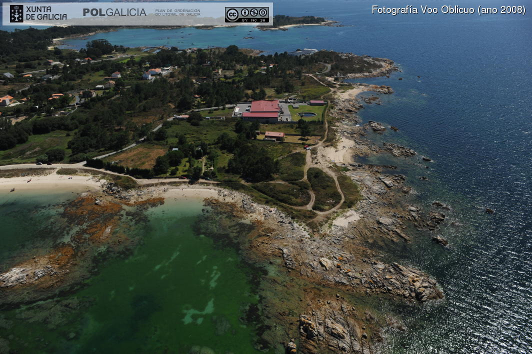
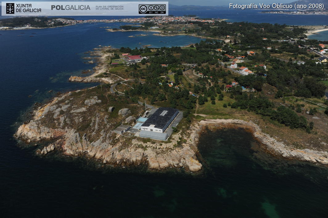
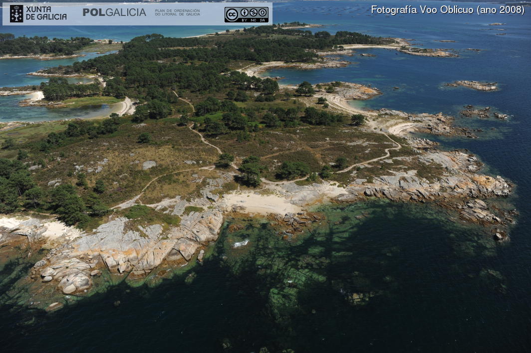
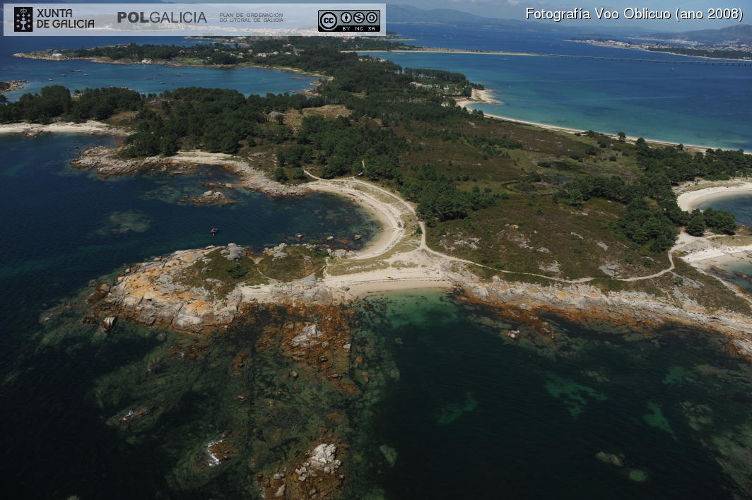
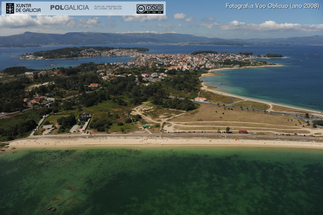
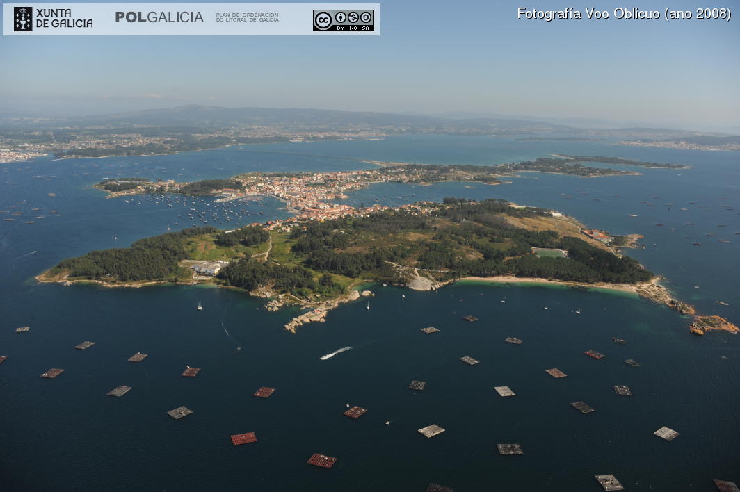
A Illa de Arousa has a total area of 7km²,
approximately. The island inhabitants are concentrated in a narrow isthmus and in its sorroundings. This isthmus connects the island qith a peninsula that has the highest point on the island.
A Illa de Arousa has 36km of coast, 11 of them are beaches. This is one of the reasons why the European Union declared the island a nature reserve.
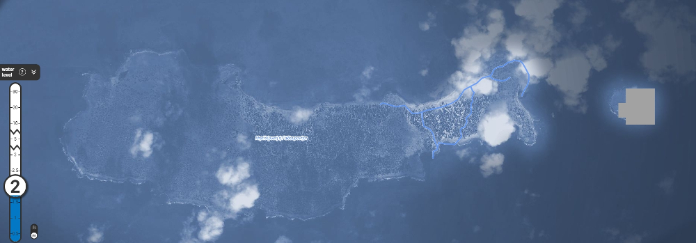
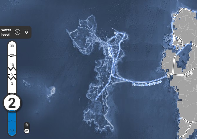
The main cities of the world will suffer big changes in 2100 if the climatic change continues in this way. An app created by the scientific organization Climate Central shows how the sea could cover the big cities of the world like New York (USA), Duban (South Africa), London (UK), Sidney (Australia) or Shangai (China).
This app of Climate Central also allows us to see how the rise of the sea level could affect Galicia. With this we can see how in 2100 A Illa de Arousa will disappear under the sea with the bridge that connects it with the continent. This app does not have a scientific quality, it just wants to raise awareness of the climatic change. Actually there are data that says the sea level rises about 2,5cm each decade since 1960, and the sea temparature increased 0,8ºC in the last 30 years.
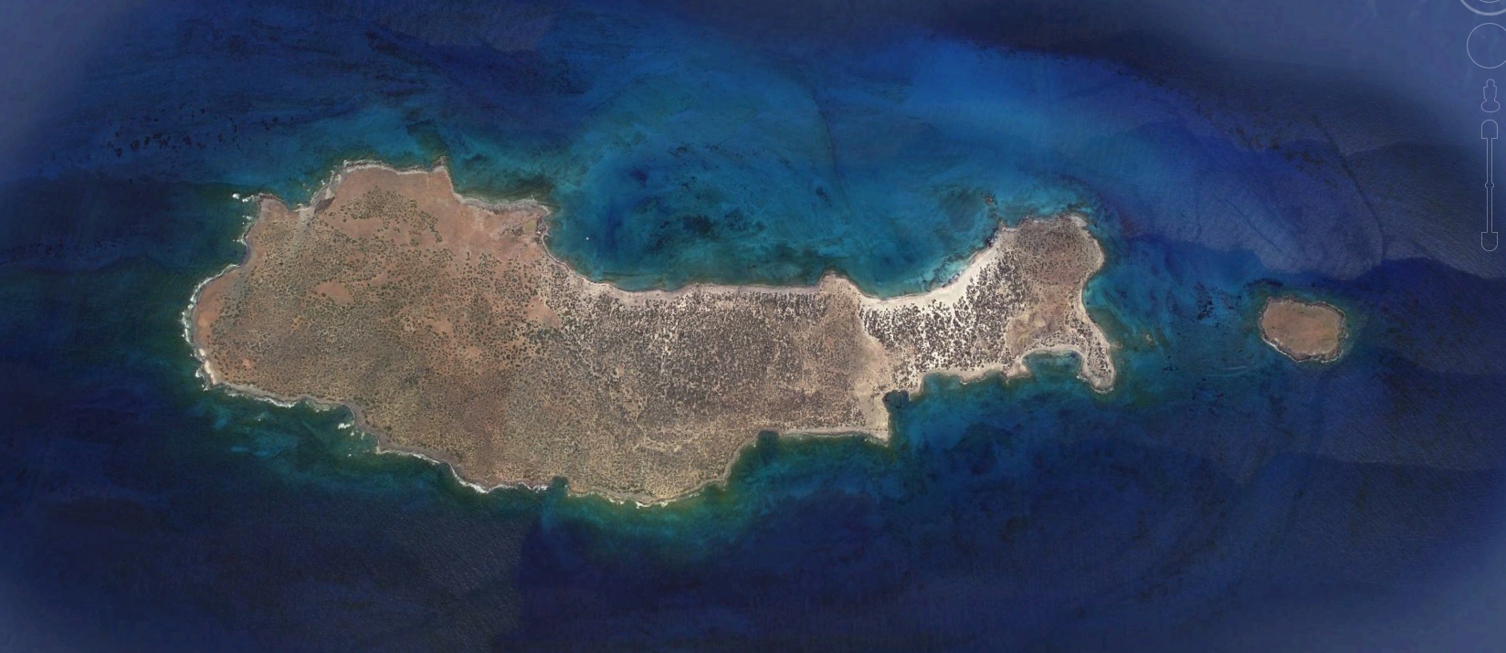
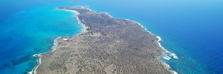
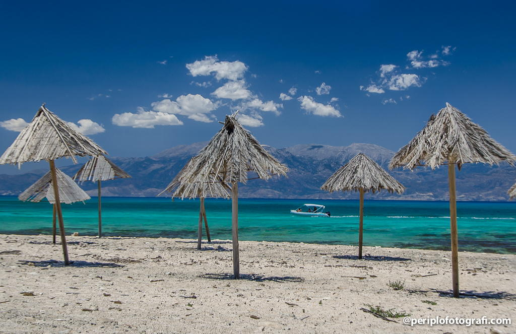
Chrysi is an uninhabited Greek island approximately 15 kilometres², and it's one of the 9 of the Libyan Sea. The island is 12 kilometres away from Ierapetra, a town in Crete. Approximately 700 m east of the island is the island of Mikronisi. The island is almost completely flat and it does not exceed the 31 meters.
The app of Climate Central allows us to see how the rise of the sea level could affect Chrysi. With this image we can see how in 2100 Chrysi will disappear under the sea, like A Illa de Arousa.